Top bar text EN
Top bar text EN


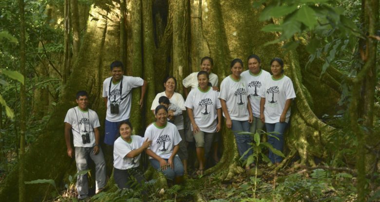
The Indigenous Community of San José de Uchupiamonas is made up by 116 families, which represent a total of 750 inhabitants. (Source: PGTI Uchupiamonas 2009).
The Indigenous Community San José de Uchupiamonas is located in northwest of Bolivia, in the Department of La Paz, Province Abel Iturralde , within the National Park and Madidi Integrated Management Natural Area. At eight hours by boat from the town of Rurrenabaque and is accesible by land on the 32 km echological road from the town Tumupasa and from the Indigenous Community San José de Uchupiamonas.
The quechua-tacana indigenous community San José de Uchupiamonas whose inhabitants identify themselves as descendants of the tribe Uchupiamonas, was founded in 1616 by Franciscan priests and Mr. Marcelino Cusirimay of Chiquitano descentin the Tuíchi River valley, where it still sits.
About San Jose de Uchupiamonas’ foundation we have heard our parents and grandparents say that the first mission was located on the site known long ago by the name “Tullullani” (meaning place where there are bones in Quechua ) and is within an hour of the present town, sailing up the river Tuíchi.
The famous French writer Alcides D’Orbigny in his book “Understanding Geographical and Historical Statistics of Bolivia,” says about it: “His abode can not be nicer, it seems that nature had been pleased to pour out his gifts in those wild places with prodigiousness worthy of the land of promise. a foreigner who comes to San Jose, is stunned with admiration at the beautiful sigh of vegetation and variety of fruits that abound there.”
The history of the indigenous Uchupiamonas is very difficult to characterize given that the records do not differentiate the historical process particularly with the community’s Tacana stories in general. In this context, we recovered what is stated in the text “Preliminary Ethnography”, internal document of…
Conservation International: The Tacana people are considered by classic ethnography part of the “chunchos” the nation, named by the Incas and then the Spanish as all ethnic groups inhabiting the geographical space located between the foothills of the Andes, and eastern Amazon forests. Both the Inca and the Spanish considered the “chunchos” as part of nature and therefore wild. On the other hand, lose descriptions have this vast area between the Andes and the Amazon classified as “No Man’s Land”.
However, thanks to contributions of recent research, it is thought that this important area was the “Taypi” or intermediate point of mediation between the highlands and lowlands of the American people (ROMERO BEDREGAL, 1967, 1989, SAIGNES 1985). Thus from the contributions of archeological and ethnographic advances, one can conclude now that the people who inhabited these areas had developed societies organized in small groups and met their basic needs through hunting, fishing, collection and cassava (Portugal Ortiz, 1978). According to Tacana oral tradition, relations with the Incas were rather peaceful: (…) which proves the latest research showing an active commercial and social relationship in both directions.
This is how the Spanish chroniclers Sarmiento de Gamboa and Garcilaso de la Vega, allow us to conclude that it was the Inca Tupac Yupanqui, whose dynasty lasted from 1471-1494, who led the first Inca incursions into Tacana territories Incas and other Arawak groups like the Mojeños . Subsequently, the Inca Kapac Wayna would have secured the Inca rule that lasted until the arrival of the Spanish in 1540. (BEDREGAL Romero 1989).
Archaeological evidence confirms these estimations:
An Inca aríbalo found by a pastor from Rurrenabaque coming from Baba-Trau (No. 3141 NAM National Archaeological Museum) of undeniable Inca style, the same as an ax found in same site (No. 862 MNA), metal (bronze with preponderance of copper). In this regard Portugal (1978) argues: Its Inca style is undeniable, and is archaeological evidence that authenticate what the chronicles and stories say about the Inca penetration and tropical lowlands.
Later the task of conquest was made succesful by the Spanish, aiding themselves with Franciscan and Jesuit religious people and not by the military forces of the Crown. The first were introduced to the region from Apollo. (…) they bega their work in 1680 creating and ruling the Apolobamba missions, which included the missions of San José de Uchupiamonas established in 1716, the Trinidad of Jariapu or Tumupasa in 1713 and San Antonio de Isllamas in 1712. (BEDREGAL Romero 1
The consulted documents let us know that in sight of the hostile resistance from the indigenous groups that inhabited the riversides of the Tuichi, Yuriyapu and Turiyapu Rivers, they were forced to take some hostages belonging to different ethnical groups (Tacana, Leco, Chama y Uchupiamona) and take them to the Mission Conception of Apolobamba, founded in 1690, with 600 indigenous people of which more than 70% were Quechua.
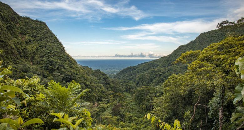
The Indigenous Community of San José de Uchupiamonas occupies an ancestral territory in the northern department of La Paz. The total land area is 210 056 hectares located within Madidi National Park.
Currently, the access roads to San José are by river and land. By river, the trip Rurrenabaque-San José normally takes nine hours by outboard motor (the community has no outboard motor); a rafting trip is risky and takes three days. By land there is a perilous route from Tumupasa to San Jose that is approximately 30 km long, is risky and is not accessible for six months because of the rains. Transport costs are too high to make San Jose marketing economically viable : The lack of road reliability make it impossible to establish trade commitments.
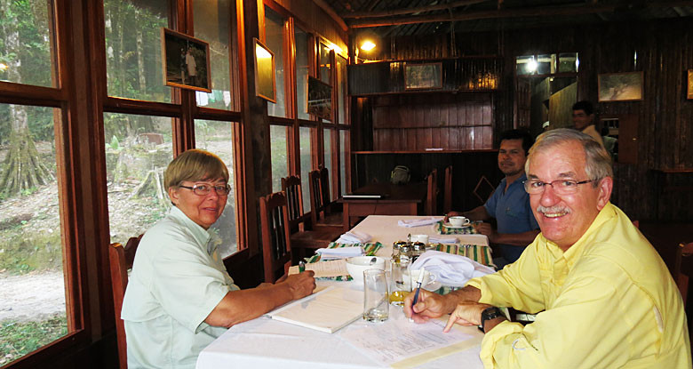
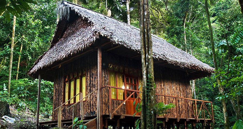
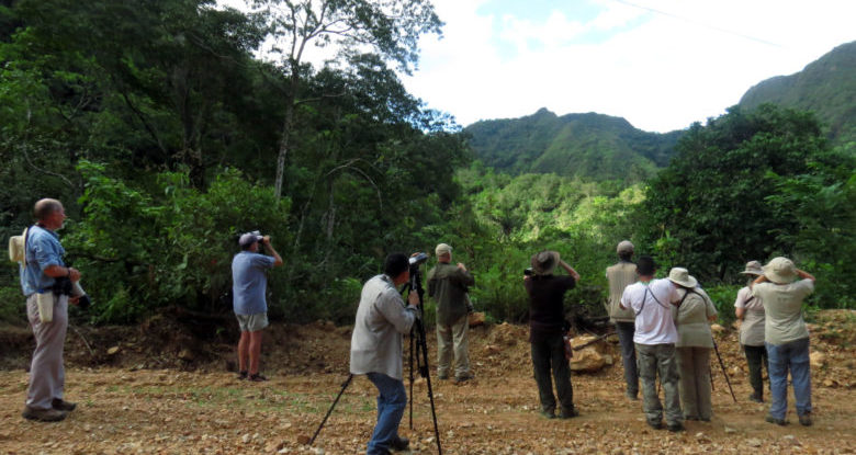
The community of San José’s main sources of income come from the dividends of the Chalalan Company, a community ecotourism project recognized at an international level.
The “San José de Uchupiamonas’s Territorial Management and Development Plan.” (PDGTI-SJU) was created to clearly systematize the dreams of the people in terms of human development, make a plan of land use, occupation of land and natural resource management. Assess threats and design a program to achieve those dreams and deal with possible threats.
With this document the community expressed their willingness to continue with their customs and traditions at the level of organization of the people and keep a traditional style in the construction industry.
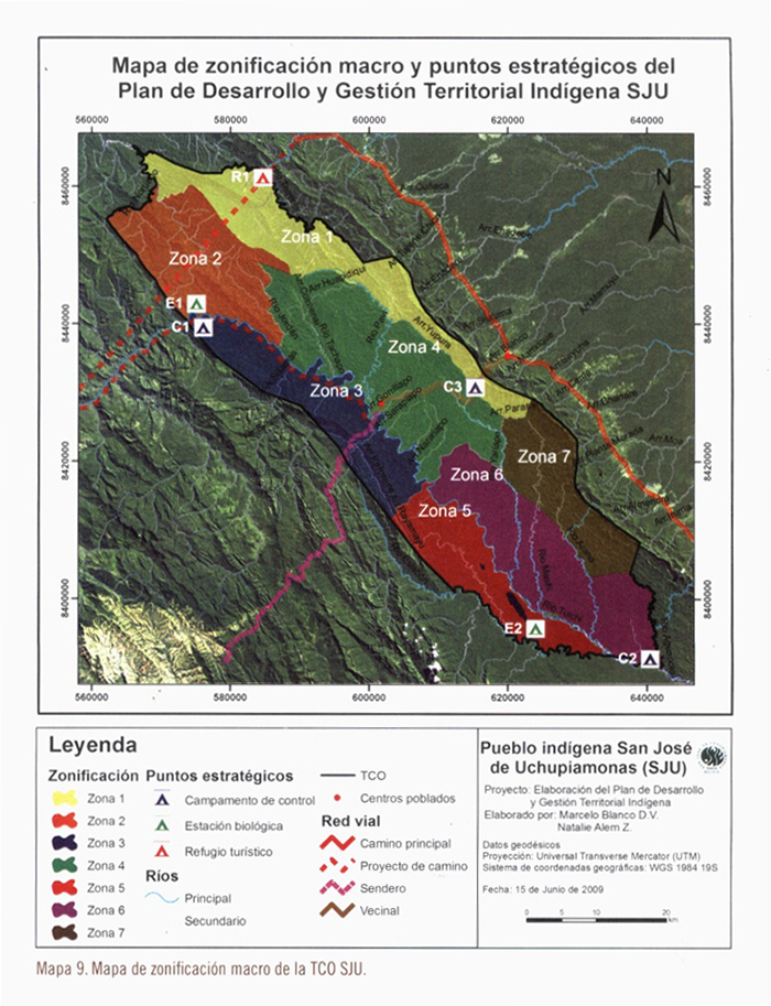
Map of macro zoning and strategic points of “San José de Uchupiamonas’s Territorial Management and Development Plan.”
In the community there are different local institutions such as: Indigenous San José de Uchupiamonas, Territorial Base Organization (OTB), Territorial Township, Cantonal Agent, Civic Committee, Parent School Board, Mothers Club, Sports Committee, Water Committee, Tourism and Environment Committee.
We define the topography of the village as a small plateau surrounded by canyons and slopes in a mountainous landscape. The hydrography of the river consists mainly of the Tuíchi River located 2 km south from the twon, and several nearby streams,like the River Pavi and River Uchupiama, at a distance of approximately 2 km to the west.
San José de Uchupiamonas is located 517 meters above sea level. According to the National Service of Meteorology and Hydrology of Bolivia (2002), the annual rainfall is 1,927 mm. The rainy season covers the months of November to February and the dry season corresponds to the months of May to October.
The average temperature is 25 º C, the highest temperatures occur between October and January and can reach 33 ° C. Between the months of March through June it is hit by cold fronts “surazos” that determine a drop in temperature to below 10 ° C and a sharp increase in moisture by light rainfall.